Whitney Tilt - Snork Dork, First Class
By Whitney Tilt
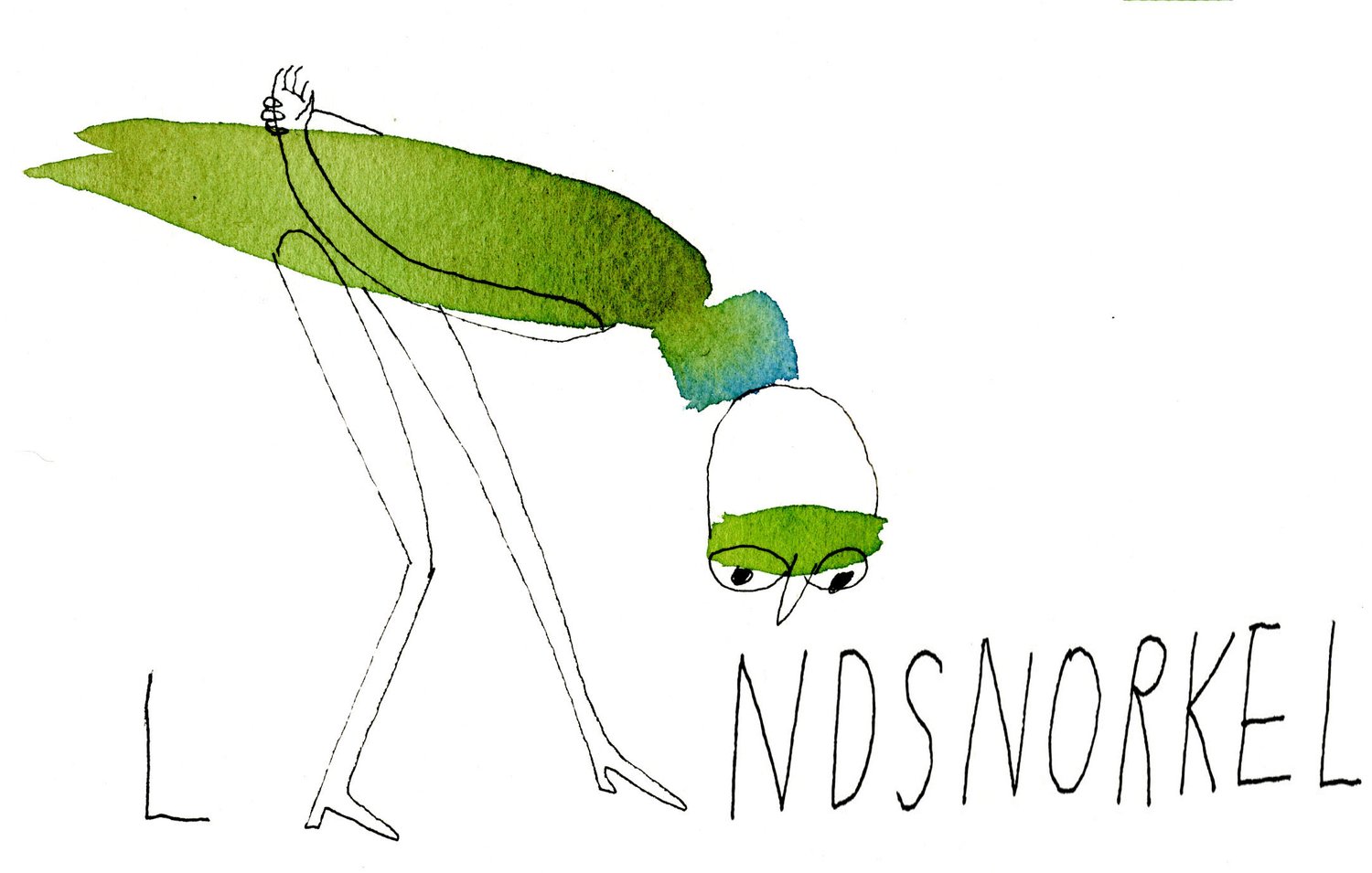
A few years back Clyde and Carol Aspevig coined the term “Landsnorkelling.” As their website, http://landsnorkel.com/ explains, “land snorkeling is taking the time to savor aspects of nature we ordinarily don’t see or pay attention to. Land snorkelers wander through nature with no intention of hiking to a destination.”
Over the 18 months, I have had the chance to work on perfecting my landsnorkeling, attempting to work my way to a higher level of “Snork Dork.” The opportunity has come in a quixotic quest.
In the past I have worked a good deal with the U.S. Fish and Wildlife Service and the Sport Fish and Boating Partnership Council, a FACA-chartered group that advises the Secretary of the Interior on aquatic conservation, recreational fishery, and recreational boating issues. Time and time again, the question of how do we get people into the outdoors has come up. At its core, the concern is that the future conservation of our natural resources depends on citizens using the resource and being willing to stand up for its continued management and protection. Research into what keeps people from fishing, boating and other outdoor recreation has identified a number of barriers with the knowledge of “where to go” and “how to do it” being two of the most prominent.
In exploring the Greater Yellowstone Region, I sally forth with maps, field guides, and local knowledge imparted by friends, local fly shops, and the like. It is part of the effort, part of the ritual… but it’s also a barrier for the more casual participant, such as a tourist or first-time visitor, as it is time consuming, confusing, and potentially expensive when all the maps, field guides and other stuff is accumulated.
So I set off to develop an interactive mobile app that would feature the major outdoor attractions throughout the Greater Yellowstone, from the Tobacco Roots to the Wind Rivers, from Red Lodge to Idaho Falls -- a 30,000 square mile playground. The app intrepidly crosses state and federal boundaries, collating information without regard to who owns it but rather what it offers. The region’s 40+ towns along with businesses that put people in the outdoors are all in it, or soon will be.
I have no idea whether the resulting “Yellowstone Outdoors” will be a raving hit, though I doubt it will rank with such useful apps as “Angry Birds.” I do know that in collecting information on over 1,600 hotsprings, campgrounds, hiking trails, historical points, etc., I have greatly enjoyed the trip. Potential diversions I have driven past consistently in the past, while on a mission to some set destination, now get explored. Historical markers that I previously bypassed at 60 MPH, now get read; forest service signs that ubiquitously read “Rock Creek” or the like now get investigated.
The quest has yielded a good deal of data, GPS coordinates, and loads of megapixels. But more importantly, it has given me the chance to landsnorkel – to gain a greater appreciation for the landscape and its history, to wander down unknown lanes, hike new trails, learn new plants, and meet new faces.
I wonder if Sarah, my intrepid co-pilot, and I get a badge or something for obtaining the rank of “Snork Dork, First Class”, or maybe we just go out and do it again.
“Yellowstone Outdoors” app is available free of charge for smart phones and tablets on the Apple Store and Google Play.To learn more, visit http://www.highcountryapps.com/.

